

 Toadfish Lakes Wilderness Area protects woodlands in the interior of eastern Halifax County. It consists of one large and several separate, smaller parts, and is next to Boggy Lake Wilderness Area.
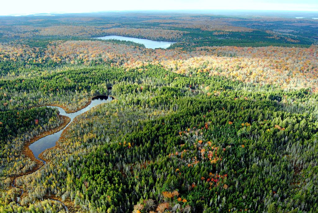
Portions of Moser, Quoddy, and Salmon rivers wind their way along hardwood drumlin hills and through stillwaters, lakes, ponds, wetlands, and thick conifer forest. Old red spruce and sugar maple/yellow birch forests are scattered throughout.
Toadfish Lakes Wilderness Area is part of a provincially-significant assemblage of protected river corridors, lakes and woodlands in this part of Nova Scotia. This provides a refuge for species sensitive to disturbance, such as endangered mainland moose.
With the adjacent Boggy Lake Wilderness Area, this wilderness area provides good representation of the Eastern Shore Drumlins natural landscape in the provincial protected areas network.
The rivers and lakes draw anglers and canoeists to the Toadfish Lakes area. This is also a destination for hunting and off highway vehicle use. The northern portion of the wilderness area is within Liscomb Game Sanctuary, where hunting is limited to muzzleloader, bow or crossbow.
Close to 17 km of forest access roads which are part of a regional ATV trail network remain open to vehicle use. The roads are not part of the wilderness area. This includes the road north from Kelly Lake into Liscomb Game Sanctuary, which defines the boundary between Toadfish Lakes and Boggy Lake wilderness areas. These routes provide access for hunting, to lakes for angling and boating, and to private land. They enable ongoing access to Shoaly Lake, Dog Lake, Quoddy Lake, Chain Lake, Long Lake, and Toadfish Lakes.
The road from Moser River to Kelly Lake and Round Lake (as well as Crown lands between these lakes), and a road to Moser River below Wrights Dam Pool are not part of the wilderness area and remain open for vehicle use.
Minor boundary adjustments were made through the survey process to simplify boundaries and to enable continued vehicle access to an adjacent private lot, east of Moser River.
Wilderness area designation of an additional 197 hectares near Quoddy Lake and Smith Lake will come into effect if overlapped mineral rights expire and no new rights are granted.
An additional 101 hectares of land at the west side of the wilderness area is identified in the Province’s 2013 Parks and Protected Areas Plan for protection, subject to acquisition. These lands remain privately owned and are not part of the wilderness area.