
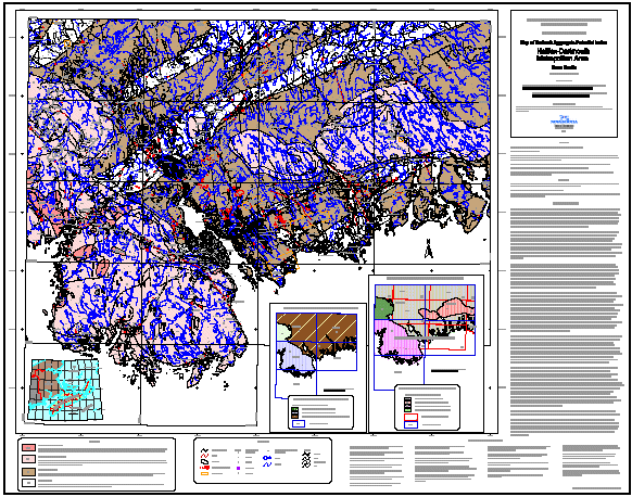
Map of Bedrock Aggregate Potential in the Halifax-Dartmouth Metropolitan Area, Nova Scotia
DP ME 48, Version 1, 2003. Digital Version of Nova Scotia Department of Natural Resources, Open File Map ME 2001-1, Map of Bedrock Aggregate Potential in the Halifax-Dartmouth Metropolitan Area, Nova Scotia, NTS 11D/05, 11D/11, 11D/12, 11D/13 and 11D/14, Scale 1:100 000, Compiled by Garth Prime, 2001
Abstract
This aggregate potential map is based on a compilation of published bedrock geology maps and the technical data collected for Economic Geology Series ME 2001-1, Overview of Bedrock Aggregate Potential in the Halifax-Dartmouth Metropolitan Area, Nova Scotia, by G. Prime. Only those rock types capable of producing high quality stone products are identified as having resource potential.
The bedrock aggregate resource potential for the Metro area consists of quartzite and granitic rocks which have been divided into three generalized lithological/textural categories. They are not ranked in terms of aggregate quality on the map because of the geological complexity of the region and the variability in characteristics that can be expected within any grouping. The findings of this study indicate that the bedrock aggregate potential within a category can vary from good to unacceptable for construction aggregate, depending on the geotechnical properties of the stone at any given location.
Disclaimer
The DATA is provided to the USER on an "as is" basis, without warranties of any kind, express or implied. The entire risk as to the quality and accuracy of the DATA is with the USER and the USER shall use his/her own judgment in making use of the DATA or drawing conclusions based upon it. NR&R shall not be liable to the USER, his/her clients, servants, agents, contractors, assigns, or to any other person for any loss or damage of any kind including personal injury or death arising from the use of the DATA or accompanying written materials, or from errors, deficiencies or faults therein, whether such damage is caused by negligence or otherwise. If errors or omissions are found in the DATA, the USER will notify NR&R. The terms and conditions of the license accompany the downloaded digital product.
Format
Portable Document Format (PDF) and TXT files compressed in self-extracting EXE/ZIP files (more information on data formats)
Size
PDF - 3 MB
Projection
The data is in six-degree Universal Transverse Mercator (UTM) projection, Zone 20, Central Meridian 63° 00' West using the North American Datum of 1927 (NAD27).
Downloading Instructions
The data files have been compressed using PKZIP into a single, self-extracting EXE file.
- Read the Licence before accepting the data.
- Download the self-extracting EXE file to the desired location on your hard drive.
- Double click or "RUN" the EXE file and the data files will be unzipped automatically.
The EXE file can also be opened in WinZip to view and extract the compressed files in the data set.
On UNIX platforms, the unzip command will extract the compressed files in the EXE.
All data sets are in six-degree Universal Transverse Mercator (UTM) Zone 20 projection using the NAD27 datum. A readme file and a copy of the licence agreement are also included with each data set.