Geological Mapping of the Parrsboro Shore
Digital Geological Data Generated as Part of Geological Mapping of the Parrsboro Shore, Black Rock to Moose River, Cumberland County, Nova Scotia, by J.H. Calder, J.W.F. Waldron, R.D. Naylor, K.D. Adams, T.J. Fedak, E. George, T.G. MacHattie, A.L. Barras and C.C. MacMullen |
|||||||
|
Related Products |
AbstractThis digital product is a compilation of geological data which was collected as part of the mapping of the Parrsboro shore (Black Rock to Moose River) by J.H. Calder. The data was used to create Nova Scotia Department of Energy and Mines Open File Map ME 2019-001, compiled by J.H. Calder, J.W.F. Waldron, R.D. Naylor, K.D. Adams, T.J. Fedak, E. George and T.G. MacHattie, 2019. The digital product contains layers for geological features such as anticlines/synclines, drillholes, faults, fossils, bedrock geologic units, geoheritage sites (cultural and natural), geological contacts, mineral occurrences, neatline, small outcrops, and structural data. The purpose of this project is to create a digital product of the data collected as part of the Parrsboro mapping project, and to produce a 1:25 000 map of the Parrsboro Shore from Black Rock to Moose River. |
||||||
DisclaimerThe DATA is provided to the USER on an "as is" basis, without warranties of any kind, express or implied. The entire risk as to the quality and accuracy of the DATA is with the USER and the USER shall use his/her own judgment in making use of the DATA or drawing conclusions based upon it. NR&R shall not be liable to the USER, his/her clients, servants, agents, contractors, assigns, or to any other person for any loss or damage of any kind including personal injury or death arising from the use of the DATA or accompanying written materials, or from errors, deficiencies or faults therein, whether such damage is caused by negligence or otherwise. If errors or omissions are found in the DATA, the USER will notify NR&R. The terms and conditions of the license accompany the downloaded digital product. |
|||||||
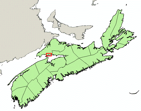
Location Map
|
|||||||
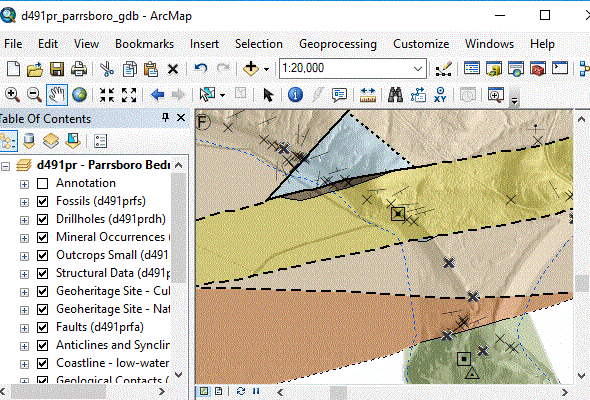
Detailed View
|
|||||||
Format and Projection
|
|||||||
Downloading InstructionsThe data files have been compressed using IZArc into a single ZIP file.
All data sets are in six-degree Universal Transverse Mercator (UTM) Zone 20 projection using the NAD83 datum. A readme file and a copy of the licence agreement are also included with each data set. |
|||||||
|
|
|||||||