

Wentworth Valley Wilderness Area protects a scenic portion of the Cobequid Mountains at Wentworth Valley, near Highway #4.
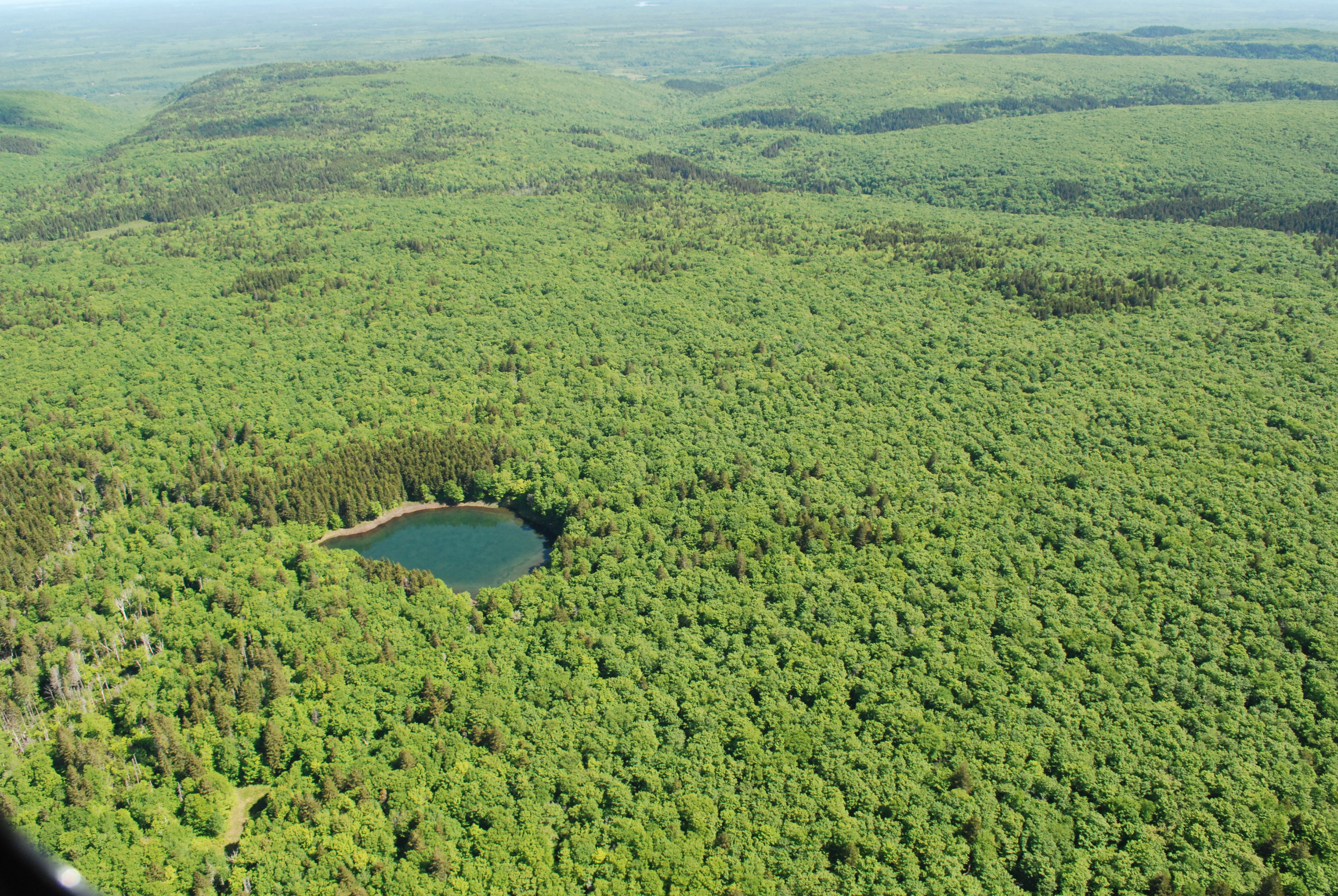
Older hardwood and mixed forests blanket highlands and deep ravines. Sugar maple, yellow birch and red spruce are mixed with white ash, hemlock, red maple, white spruce, ironwood and other species. Scattered throughout are fast flowing brooks, waterfalls, a few lakes, ponds, wetlands, and vernal pools.
The forest condition and extended seasonal snow cover provide quality habitat for the endangered mainland moose. This is also part of the headwaters of the Wallace River, which supports an Atlantic salmon run.
The wilderness area includes an unnamed peak which has been confirmed as the highest point in mainland Nova Scotia, at 365 m above sea level.
The scenic and hilly terrain is suited for four-season trail use and other outdoor recreation in a wilderness setting, including hunting and angling. Parking to access non-motorized recreation is available at the southwestern end of the wilderness area, off of Highway #4.
A portion of Ski Wentworth's cross-country ski trail network is within the wilderness area. This is managed under an agreement with the Province.
Nova Scotia Environment and Climate Change has authorized OHV use on trails #310 / 310A and on a trail near the east side of Hart Lake by adding these to agreements with the Snowmobilers Association of Nova Scotia (SANS), All Terrain Vehicle Association of Nova Scotia (ATVANS) and Nova Scotia Off Road Riders Association (NSORRA). These trails are located in the eastern portion of the wilderness area, near the community of Hart Lake.
Wentworth Valley Wilderness Area was designated in 2018. Two parcels, consisting of 65 hectares, were added near Highway #4 in 2022.