Western Crown Land Planning Process - Maps
Maps available for downloading. Maps are large and detailed, so will take some time to download.
Disclaimer: THESE MAPS ARE NOT OFFICIAL RECORDS.
The Crown Land mapping is a graphical representation of Crown boundaries which approximate the size, configuration and location of parcels. Care has been taken to ensure the best possible quality, however, these maps are not a land survey and are not intended to be used for legal descriptions or to calculate exact dimensions or area. The Crown Land mapping is not conclusive as to the location, boundaries, extent of Crown Land or any accompanying data details. Information shown is for display purposes only and should be verified prior to any decision making.
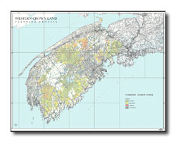
Access and Gates Map —
Click map below for a larger PDF version
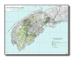
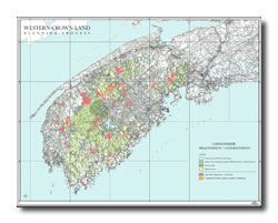
Biodiversity Habitat and Ecosystem Priorities —
Click map below for a larger PDF version
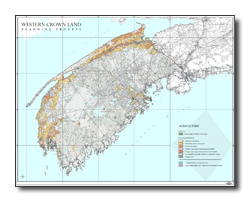
Ecoregions and Ecodistricts —
Click map below for a larger PDF version
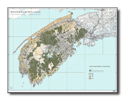
Forestry - Forest Cover —
Click map below for a larger PDF version
Lands Under Negotiation -
Consultation —
Click map below for a larger PDF version
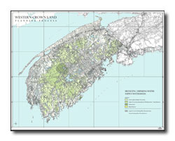
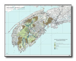
Municipal Water Supplies —
Click map below for a larger PDF version
Tourism —
Click map below for a larger PDF version
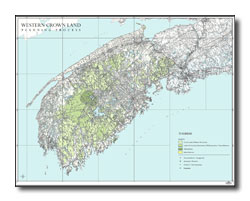
Western Crown Planning Process —
Click map below for a larger PDF version

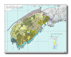
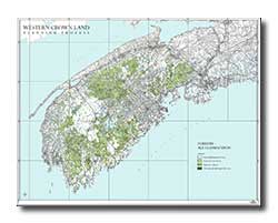
Forestry - Age Classification —
Click map below for a larger PDF version
Agriculture Map —
Click map below for a larger PDF version
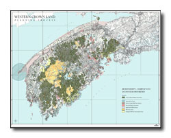
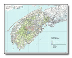
Biodiversity Species Priorities Map —
Click map below for a larger PDF version
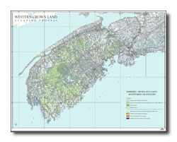
Fisheries - Rivers and Lakes Monitored or Stocked Map —
Click map below for a larger PDF version
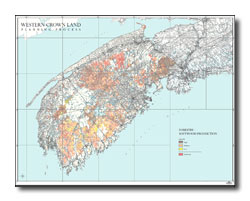
Forestry - Softwood Production —
Click map below for a larger PDF version
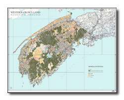
Mineral Potential —
Click map below for a larger PDF version
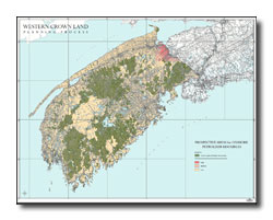
Petroleum Potential —
Click map below for a larger PDF version
Trails and Recreation —
Click map below for a larger PDF version
Wind Potential —
Click map below for a larger PDF version