Geographic Information Systems - Land Capability for Forestry (1: 50 000)
The federal Canada Land Inventory (CLI) program, carried out from 1963 to 1994, was designed to provide a basis for land use planning by determining land capabilities for wildlife, recreation, agriculture and forestry. The primary objective of the forestry sector was to classify all mineral and organic soils in Nova Scotia into one of seven classes based on their inherent ability to grown commercial timber.
The Land Capability for Forestry in Nova Scotia map was produced by the Nova Scotia Department of Lands and Forests (now the Department of Natural Resources) in cooperation with this federal program. While 1:250,000 scale maps were published by the federal government, the 1:50,000 scale maps were not generally available. They have been digitized by the Forestry Division GIS Section, and are available for download for the whole province and by individual county below.
Downloading Instructions
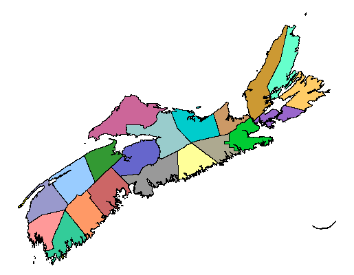
To download the self-extracting archive place the cursor over the county of interest and click , or place the cursor over the county name hyperlink below the map and click. Save the file to the desired location on your hard drive. Double click or "RUN" the downloaded EXE file, and the shapefile will decompress to a location of your choice. Please note NR&R accepts no liability for any errors or deficiencies on this map.
Need A Map Viewer? ...
In order to view our digital files on your computer, you require mapping software (e. g. ArcView®, MapInfo®, AutoCAD®). If you do not have this software, ESRI* provides a FREE Map Viewer called ArcExplorer® which you can download over the Internet. ArcExplorer® works with our *.shp files.
Projection: UTM Zone 20N NAD83
Self-extracting archive contents:
- landcap.shp (shapefile)
- landcap.avl (ArcView 3.x legend, National Atlas colour scheme)
- landcap.lyr (ArcMap 9.x layer, National Atlas colour scheme)
- landcap_comp.lyr (ArcMap 9.x layer, transparent hash mark overlay identifying stands with complex coding)
Please select the county of interest: