
Forest Inventory Photo Interpretation
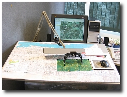
The Nova Scotia Department of Natural Resources (NSNR&R) obtains aerial photos for 1/10 of the province each year. Using paired photographs, the interpreters can see in three dimensions. The interpreters use this perspective to delineate homogeneous stands of trees and interpret crown closure, stand height, species and land capability (an estimate of productivity). From these interpreted attributes, estimates such as stand basal area and volume are computed and form the basis of the forestry layer stored in NSNR&R's GIS database.
Links