
Nova Scotia Mineral Occurrence Database
DP ME 2, Version 12, 2024. Nova Scotia Mineral Occurrence Database. Digital product compiled by K. D. MacRae, K. Neyedley, G. J. Baldwin, J. C. Poole
.Abstract
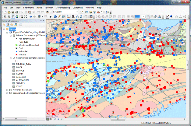
This data set is the ArcGIS version of the Nova Scotia Mineral Occurrence Database. The data set was compiled by the Nova Scotia Department of Natural Resources (NRR), Geoscience and Mines Branch (GMB). The product contains a series of attribute tables that contain information about the various mineral occurrences present in the province of Nova Scotia. It includes information such as: types of alteration, sample analyses information, mineral commodities, coordinates, element and mineral type, mode of mineralization, NTS mapsheet information, element sampling information, stratigraphic units, types of surveys carried out and work done on the occurrence.This version of the database contains a number of modified and new mineral occurrences. The coordinates in the GIS digital product for version 9 and all subsequent versions are now in UTM zone 20 NAD83 coordinates.
Nova Scotia Open Government Licence
This data is made available under the Nova Scotia Open Government Licence.
Use of this data indicates your acceptance to the terms contained in the Nova Scotia Open Government Licence.
Format
ESRI shape files (SHP), ArcGIS File Geodatabase 10.8.2 (GDB), a Google Earth compatible file format (KML\KMZ) and Microsoft Excel spreadsheets (XLS) compressed in self-extracting ZIP file (more information on data formats)
Size
SHP/GDB/KML/XLS - 5 MB (compressed), 36 MB (uncompressed)
Projection
The data is in six-degree Universal Transverse Mercator (UTM) projection, Zone 20, Central Meridian 63° 00' West using the North American Datum of 1983 (NAD83).
Downloading Instructions
The data files have been compressed using IZArc into a single ZIP file.
- Download the ZIP file to the desired location on your computer hard drive.
- Unzip and extract the data onto your computer. We STRONGLY recommend you unzip our data to a consistent area on your hard drive (e.g. C:\nsdnr\).
All data sets are in six-degree Universal Transverse Mercator (UTM) Zone 20 projection using the NAD83 datum. A readme file and a copy of the licence agreement are also included with each data set.