DP ME 64
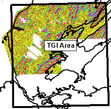
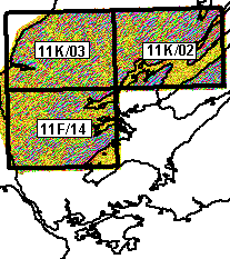
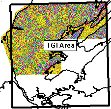
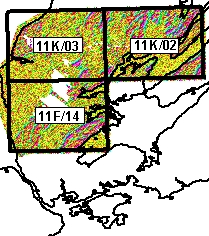
DP ME 64, Version 2, 2006, Airborne VLF-EM Total Field and Quadrature Images for NTS 11F/14, 11K/02 and 11K/03, part of the TGI project area, south-central Cape Breton Island, Nova Scotia, by M. S. King, 2003. Available in TIFF and JPEG formats and also as PDFs of OFM ME 2003-27 to 32 and OFM ME 2003-38 and 39.
PDF Downloads
TIFF and JPEG Image Downloads
PDF Downloads
| Map
Type |
PDF's
for 50K Maps |
PDF's
for 100K Maps |
VLF-EM Total Field Map (VTF) |
||
VLF-EM Quadrature Maps (VQD) |

TIFF and JPEG Downloads
| Map
Type |
TIFF |
JPEG |
VLF-EM Total Field Map (VTF) |
||
VLF-EM Quadrature Maps (VQD) |