
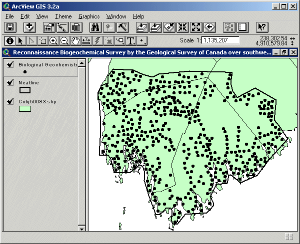
Reconnaissance Biogeochemical Survey over Southwestern Nova Scotia
DP ME 130, Version 2, 2006. Reconnaissance Biogeochemical Survey by the Geological Survey of Canada over Southwestern Nova Scotia, 1991
Abstract
A reconnaissance biogeochemical survey was conducted during a 3 week period beginning in early May 1991, and was funded by the Geological Survey of Canada as a Contribution to Canada - Nova Scotia Cooperation Agreement on Mineral Development 1990-1992, a subsidiary agreement under the Economic and Regional Development Agreement. Samples were collected from approximately 500 sites within a 5000 sq. km area of southwestern Nova Scotia. The northern boundary of the survey area was latitude 44 15'. the eastern boundary was the Mersey River, with red spruce (Picea rubens) bark being selected as the principle sampling medium. The samples were analyzed for Au, Ag, As, Ba, Br, Ca, Co, Cr, Cs, Fe, Hf, K, Mo, Na, Rb, Sb, Sc, Se, Sn, Sr, Ta, Th, U, W, Zn, La, Ce, Nd, Sm, Eu, Yb, Lu, Al, B, Be, Cd, Cu, Li, Mg, Mn, Ni, P, Pb, Ti, and V. This data set was previously included as part of a compilation of geochemical surveys and released as DP ME 004 Version 1. This data set was previously called of2556 and later renamed c130swcb. Further information about the survey and analysis can be found in the draft documents: survey_description.wpd, elements.wb3 and fields.wb3 that are supplied with the data set.
Disclaimer
The DATA is provided to the USER on an "as is" basis, without warranties of any kind, express or implied. The entire risk as to the quality and accuracy of the DATA is with the USER and the USER shall use his/her own judgment in making use of the DATA or drawing conclusions based upon it. NR&R shall not be liable to the USER, his/her clients, servants, agents, contractors, assigns, or to any other person for any loss or damage of any kind including personal injury or death arising from the use of the DATA or accompanying written materials, or from errors, deficiencies or faults therein, whether such damage is caused by negligence or otherwise. If errors or omissions are found in the DATA, the USER will notify NR&R. The terms and conditions of the license accompany the downloaded digital product.

Format
ArcInfo Interchange Format (E00), DXF/DBF, ArcView 3.2a shape files (SHP) and TXT files compressed in self-extracting EXE/ZIP files (more information on data formats)
Size
E00 - 0.2 MB (compressed), 0.9 MB (uncompressed)
DXF/DBF - 0.2 MB (compressed), 0.8 MB (uncompressed)
SHP - 0.3 MB (compressed), 1.0 MB (uncompressed)
Projection
The data is in six-degree Universal Transverse Mercator (UTM) projection, Zone 20, Central Meridian 63° 00' West using the North American Datum of 1983 (NAD83).
Downloading Instructions
The data files have been compressed using PKZIP into a single, self-extracting EXE file.
- Read the Licence before accepting the data.
- Download the self-extracting EXE file to the desired location on your hard drive.
- Double click or "RUN" the EXE file and the data files will be unzipped automatically.
The EXE file can also be opened in WinZip to view and extract the compressed files in the data set.
On UNIX platforms, the unzip command will extract the compressed files in the EXE.
All data sets are in six-degree Universal Transverse Mercator (UTM) Zone 20 projection using the NAD83 datum. A readme file and a copy of the licence agreement are also included with each data set.