
Nova Scotia Gravity Database
DP ME 154, Version 2, 2006. Nova Scotia Gravity Database
Abstract
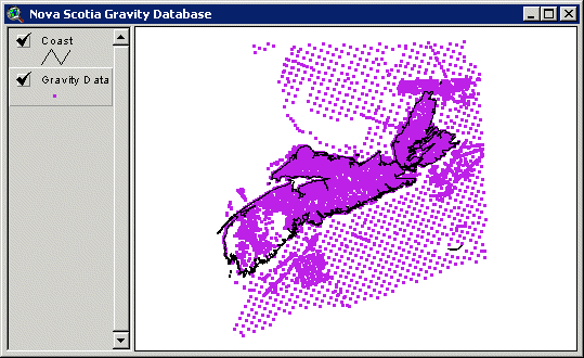
This digital product includes all the stations that were collected as part of the Nova Scotia Department of Natural Resources, Mineral Resources Branch (MRB) Open File Report ME 1995-005, "Reprocessing of Nova Scotia Gravity Data from the NSRFC Gravity Database (1952-1988) by K. Howells and E. D. Clarke", as well as an additional 633 gravity stations and some quality control fields added by Steve King under contract to MRB in early 2005. This data was part of Assessment Report AR ME 1997-101, "Salt, Stewiacke area, Hants and Colchester Counties, Nova Scotia. Report on a geological review of the property, an assessment of previous gravity and seismic surveys, an analysis of previous gauging data, and the collection of river oceanographic data", by Geomarine Associates Ltd. This product includes station locations, associated bouguer gravity values and other attributes located in the onshore and offshore areas of Nova Scotia.
Disclaimer
The DATA is provided to the USER on an "as is" basis, without warranties of any kind, express or implied. The entire risk as to the quality and accuracy of the DATA is with the USER and the USER shall use his/her own judgment in making use of the DATA or drawing conclusions based upon it. NR&R shall not be liable to the USER, his/her clients, servants, agents, contractors, assigns, or to any other person for any loss or damage of any kind including personal injury or death arising from the use of the DATA or accompanying written materials, or from errors, deficiencies or faults therein, whether such damage is caused by negligence or otherwise. If errors or omissions are found in the DATA, the USER will notify NR&R. The terms and conditions of the license accompany the downloaded digital product.
Format
ArcInfo Interchange Format (E00), DXF/DBF, ArcView 3.2a shape files (SHP) and TXT files compressed in self-extracting EXE/ZIP files (more information on data formats)
Size
E00 - 3.0 MB (compressed), 41.2 MB (uncompressed)
DXF/DBF - 3.5 MB (compressed), 62.0 MB (uncompressed)
SHP - 2.9 MB (compressed), 49.5 MB (uncompressed)
Projection
The data is in six-degree Universal Transverse Mercator (UTM) projection, Zone 20, Central Meridian 63° 00' West using the North American Datum of 1983 (NAD83).
Downloading Instructions
The data files have been compressed using PKZIP into a single, self-extracting EXE file.
- Read the Licence before accepting the data.
- Download the self-extracting EXE file to the desired location on your hard drive.
- Double click or "RUN" the EXE file and the data files will be unzipped automatically.
The EXE file can also be opened in WinZip to view and extract the compressed files in the data set.
On UNIX platforms, the unzip command will extract the compressed files in the EXE.
All data sets are in six-degree Universal Transverse Mercator (UTM) Zone 20 projection using the NAD83 datum. A readme file and a copy of the licence agreement are also included with each data set.