Geological Mapping of the Halifax Area
DP ME 440, Version 1, 2017. Digital Geological Data Generated as Part of the Bedrock Geological Mapping of the Halifax Area (2007-2012), Halifax County, Nova Scotia. Digital product compiled by C.E. White, M.A. MacDonald, R.J. Horne, B.E. Fisher, J.S. McKinnon and A.L. Barras. |
|||||||
|
Related Products |
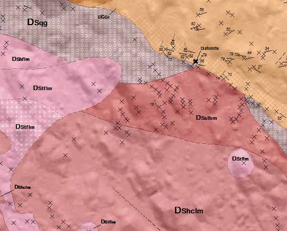
AbstractWith the ongoing pressures of growth and development in the Halifax Regional Municipality (HRM) many local construction companies and environmental consulting groups have contacted the Nova Scotia Department of Natural Resources in regards to outlining areas in the city where acid rock drainage (ARD) may be an issue. To address these concerns a detailed bedrock mapping project was initiated in 2007 on the Halifax map sheet. The increased growth in the area highlighted the need for geoscience information beyond just knowing areas of potential ARD. Such information is also needed for regional planning, zoning and regulations by various levels of government. The bedrock map can also be used in environmental studies such as waste management, development of regional infrastructure, inventory of natural resources, hydrology and geological hazards. This digital product is a compilation of geological data which was collected as part of the mapping of the Halifax area (11D/12) by C.E. White. The data was used to create Nova Scotia Department of Natural Resources (NSNR&R) Open File Map OFM ME 2014-010, compiled by C. E. White, M.A. MacDonald and R.J. Horne, 2014. The digital product was created by the NSNR&R, Mineral Resources Branch (MRB) staff. Data was also compiled from a number of previous mapping projects within the Halifax area to compliment the field work by Chris White. The digital product contains layers for geological features such as: anticlines/synclines, drillholes, faults, bedrock geologic units, geological contacts, mineral occurrences, neatline, small outcrops, quarries, structural data, and shear zones. |
||||||
DisclaimerThe DATA is provided to the USER on an "as is" basis, without warranties of any kind, express or implied. The entire risk as to the quality and accuracy of the DATA is with the USER and the USER shall use his/her own judgment in making use of the DATA or drawing conclusions based upon it. NR&R shall not be liable to the USER, his/her clients, servants, agents, contractors, assigns, or to any other person for any loss or damage of any kind including personal injury or death arising from the use of the DATA or accompanying written materials, or from errors, deficiencies or faults therein, whether such damage is caused by negligence or otherwise. If errors or omissions are found in the DATA, the USER will notify NR&R. The terms and conditions of the license accompany the downloaded digital product. |
|||||||
Location Map
|
|||||||
Detailed View
|
|||||||
Format and Projection
|
|||||||
Downloading InstructionsThe data files have been compressed using IZArc into a single ZIP file.
All data sets are in six-degree Universal Transverse Mercator (UTM) Zone 20 projection using the NAD83 datum. A readme file and a copy of the licence agreement are also included with each data set. |
|||||||
|
|
|||||||