Potential Surficial Aquifers of Nova Scotia
DP ME 490, Version 1, 2014, Potential Surficial Aquifers of Nova Scotia by G. W. Kennedy. |
|||||||
|
Related Products |
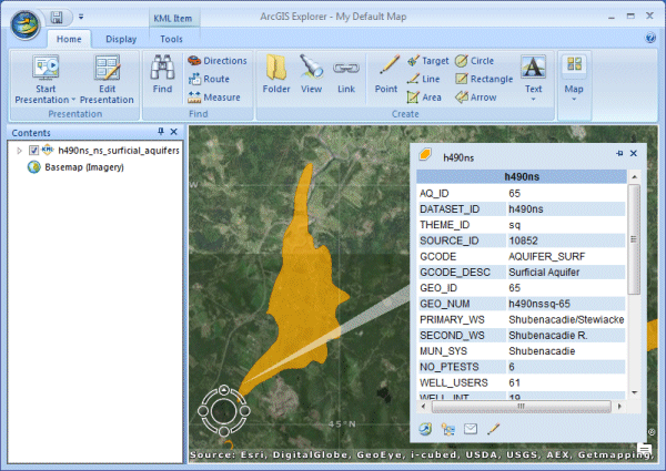
AbstractThis digital product was developed as part of a Nova Scotia Department of Natural Resources (NSNR&R) initiative to identify and characterize surficial aquifers in the province. The purpose of this project is to build a spatial inventory and preliminary characterization of surficial aquifers across the province through the analysis of existing stratigraphic information and relevant historical reporting. An inventory of key surficial aquifers should improve the province's understanding of these water resources and assist groundwater development, protection and management efforts. |
||||||
DisclaimerThe DATA is provided to the USER on an "as is" basis, without warranties of any kind, express or implied. The entire risk as to the quality and accuracy of the DATA is with the USER and the USER shall use his/her own judgment in making use of the DATA or drawing conclusions based upon it. NR&R shall not be liable to the USER, his/her clients, servants, agents, contractors, assigns, or to any other person for any loss or damage of any kind including personal injury or death arising from the use of the DATA or accompanying written materials, or from errors, deficiencies or faults therein, whether such damage is caused by negligence or otherwise. If errors or omissions are found in the DATA, the USER will notify NR&R. The terms and conditions of the license accompany the downloaded digital product. |
|||||||
Detailed View
|
|||||||
Format and Projection
|
|||||||
Downloading InstructionsThe data files have been compressed using PKZIP into a single, self-extracting EXE file.
The EXE file can also be opened in WinZip to view and extract the compressed files in the data set. On UNIX platforms, the unzip command will extract the compressed files in the EXE. All data sets are in six-degree Universal Transverse Mercator (UTM) Zone 20 projection using the NAD83 datum. A readme file and a copy of the licence agreement are also included with each data set. |
|||||||
|
|
|||||||