
Nova Scotia Mineral Rights Database
DP ME 493, Version 1, Nova Scotia Mineral Rights Database (NovaROC)
Related Links
…
NovaROC
Legacy Products
…
Disposition Map List
Abstract
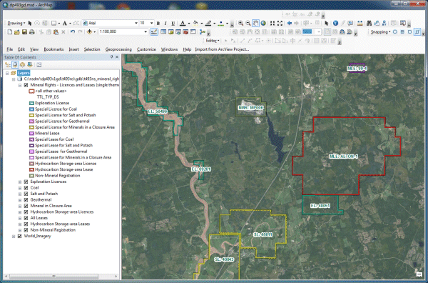
This digital product is developed from the NovaROC database of mineral rights information for the province of Nova Scotia. The database is maintained by the Nova Scotia Department of Natural Resources (NSNR&R), Geoscience and Mines Branch (GMB). The digital product was developed from information contained in the NovaROC database and is updated every night at around 2:00 AM. The digital product contains layers for entities such as: exploration licences; special licences (coal, salt and potash, geothermal and minerals in a closure area); leases; hydrocarbon storage-area licences and leases; and non-mineral registrations. The extraction date-time field (EXTRCT_DT) identifies the date and time that the information was extracted from NovaROC.
Disclaimer
Information for this digital product was acquired from the NovaROC database at the date and time specified in the extraction date-time field (EXTRCT_DT) in the database. This information is an extraction from the database at a specific date and time and licensed and leased areas may not in all cases be found as shown. For up-to-date information consult the NovaROC website at NovaROC, or contact the Registry of Mineral and Petroleum Titles at https://novascotia.ca/natr/meb/registry-minerals-petroleum .
The DATA is provided to the USER on an "as is" basis, without warranties of any kind, express or implied. The entire risk as to the quality and accuracy of the DATA is with the USER and the USER shall use his/her own judgment in making use of the DATA or drawing conclusions based upon it. NR&R shall not be liable to the USER, his/her clients, servants, agents, contractors, assigns, or to any other person for any loss or damage of any kind including personal injury or death arising from the use of the DATA or accompanying written materials, or from errors, deficiencies or faults therein, whether such damage is caused by negligence or otherwise. If errors or omissions are found in the DATA, the USER will notify NR&R. The terms and conditions of the license accompany the downloaded digital product.
Format
ESRI Shapefiles (SHP) and File Geodatabase (GDB) compressed in self-extracting EXE/ZIP files (more information on data formats)
Size
SHP - 1 MB (compressed), 3 MB (uncompressed)
GDB - 1 MB (compressed), 3 MB (uncompressed)
Projection
The data is in six-degree Universal Transverse Mercator (UTM) projection, Zone 20, Central Meridian 63° 00' West using the North American Datum of 1983 (NAD83).
Downloading Instructions
The data files have been compressed using PKZIP into a single, self-extracting EXE file.
- Read the Licence before accepting the data.
- Download the self-extracting EXE file to the desired location on your hard drive.
- Double click or "RUN" the EXE file and the data files will be unzipped automatically.
The EXE file can also be opened in WinZip to view and extract the compressed files in the data set.
On UNIX platforms, the unzip command will extract the compressed files in the EXE.
All data sets are in six-degree Universal Transverse Mercator (UTM) Zone 20 projection using the NAD83 datum. A readme file and a copy of the licence agreement are also included with each data set.