|
Disclaimer
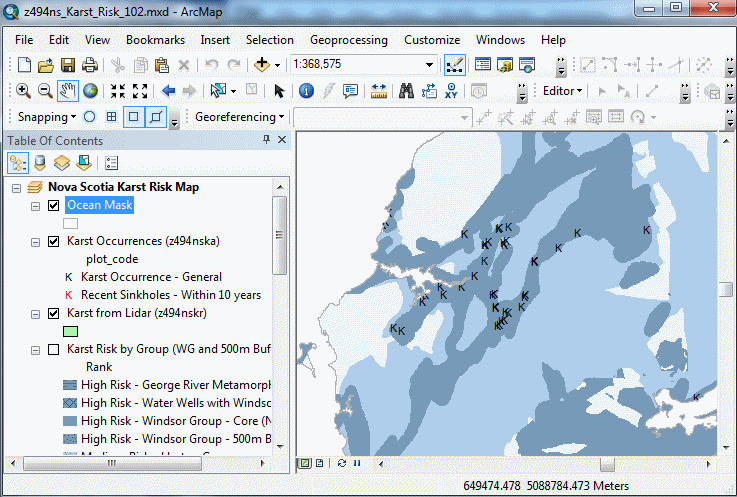
Location Map
Sample
Format and Projection
Metadata
Download Instructions
Download Digital Data Set
Related Products
Information about Sinkholes
View Basic Interactive Karst Risk Map
(Link to User Guide)
View Advanced Interactive Karst Risk Map (AGOL)
Open File Report ME 2019-001
|
Abstract
This dataset was developed to show areas of Nova Scotia where
there is a relative high-medium-low risk of encountering karst and naturally
occurring sinkholes caused by soluble bedrock. Karst refers to the distinctive
terrain that develops over soluble bedrock and includes features such as sinkholes,
caves, and springs. Sinkhole development in karst terrain can cause extensive damage
to buildings, roads, and other infrastructure. The primary geohazard in karst areas
is the sudden catastrophic subsidence of the ground. This may occur due to the collapse
of cavities in bedrock that have been created by the dissolution of soluble evaporite
rocks (e.g. gypsum, anhydrite, salt) or carbonate rocks (e.g. limestone, dolostone).
It may also occur when soil is washed into openings in underlying soluble bedrock, which
creates a void in the soil that migrates upwards by progressive collapse. Sinkholes can
be a serious geohazard in some areas of the province and, therefore, caution should be
exercised in potential karst areas when constructing buildings, roads, or other
infrastructure.
This dataset was prepared using provincial geology maps, sinkhole occurrence data, lidar
data and hydrogeological databases. The sinkhole occurrence data was obtained from geology maps,
lidar, municipalities and consultants. The resulting database contains 1057 records of known
locations with sinkholes, karst topography, and karst springs. The risk zones are based on
several factors, including geology, sinkhole locations and professional judgment. The
high-risk zone contains 96% of the sinkholes in the Nova Scotia Sinkhole Database and
has densities of greater than 1 sinkhole per 100 km2. This zone includes the Windsor Group,
a 500 m buffer zone around the Windsor Group which contains abundant sinkholes, and the George
River Metamorphic Suite. The medium-risk zone contains 3.9% of the sinkholes in the Nova Scotia
Sinkhole Database and has densities between 0.1 and 1 sinkholes per 100 km2. This zone includes
the Horton and Mabou Groups. The low-risk zone contains less than 0.1% of the sinkholes in the
Nova Scotia Sinkhole Database. This zone typically does not contain sinkholes or karst topography.
However, sinkholes may still occur in this area due to unmapped soluble rocks (i.e. evaporites or carbonates) or where soluble rocks are close to the ground surface but overlain by other rock types or unconsolidated material. |
|
Disclaimer
The DATA is provided to the USER on an "as is" basis, without warranties of any kind, express or implied.
The entire risk as to the quality and accuracy of the DATA is with the USER and the USER shall use his/her own judgment in making use of the DATA or drawing conclusions based upon it.
NR&R shall not be liable to the USER, his/her clients, servants, agents, contractors, assigns, or to any other person for any loss or damage of any kind including personal injury or death arising from the use of the DATA or accompanying written materials, or from errors, deficiencies or faults therein, whether such damage is caused by negligence or otherwise. If errors or omissions are found in the DATA, the USER will notify NR&R.
The terms and conditions of the license accompany the downloaded digital product.
|