
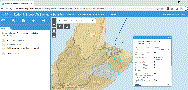
Interactive Maps
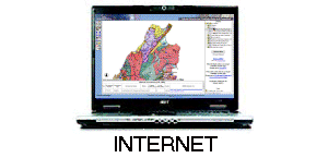
Interactive maps are live online maps that clients can use to view, query and print GIS maps, databases and images using an Internet browser.
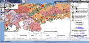
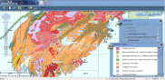
GEOSCIENCE ATLAS
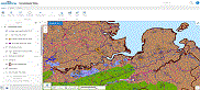
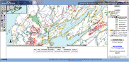
GROUNDWATER ATLAS
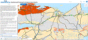
MINERAL RESOURCE LAND-USE ATLAS

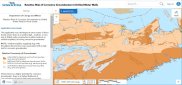
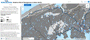
radon risk
Radon in Indoor Air Summary Statistics
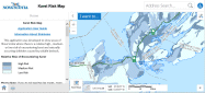
Karst Risk Map
Uranium Risk in Bedrock Water Wells
Groundwater Corrosivity Risk Map
ReLAtive Risk of Manganese IN Water Wells
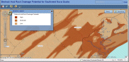
Potential Impact of DROUGHT to Private Wells
acid rock drainage risk
Arsenic Risk in bedrock Water Wells
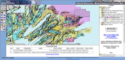
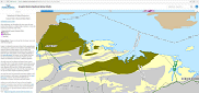
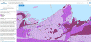
SW Nova bedrock map
Geothermal Potential in Onshore NS

Geoheritage Sites

ONLINE MINERAL RIGHTS
GEONOVA